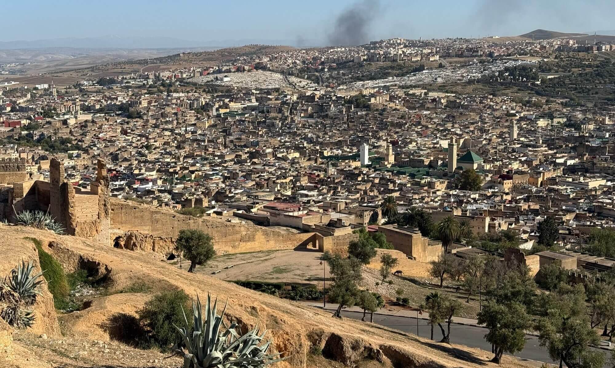
Cycling around Göttingen and across southern Lower Saxony offers remarkable scenery, yet the available network of official, well-maintained routes leaves quite a bit to be desired. The region has no shortage of potential – with its rolling hills, river valleys, and quiet rural lanes – but the infrastructure simply hasn’t kept pace. Investment from the state remains modest, meaning that many promising paths are either poorly surfaced or only informally signposted. For cyclists who enjoy exploring, this creates both a sense of freedom and the occasional frustration of having to improvise directions.
One of the great missed opportunities lies in the former railway lines that once connected small towns and villages across the region. The disused route through the Gartetal could easily become a charming track for leisure riders, providing a gentle climb through woodland and meadows. Similarly, the old line from Göttingen through Dransfeld to Hann. Münden offers beautiful views and historical interest that would make it a genuine attraction if restored and properly maintained. A continuous, high-quality cycling path along the river Leine would also transform the area into a magnet for touring cyclists, linking rural culture with nature in an accessible way.
Thankfully, the geography of southern Lower Saxony means that cyclists aren’t confined to local routes alone. Just beyond the border, Hessen and Thüringen offer often well-developed cycling routes through the Fulda, Werra, and Weser valleys – each rich in natural beauty and cultural heritage. These well-established paths, running alongside rivers and through picturesque half-timbered towns, provide an easy way to experience the spirit of central Germany on two wheels. Together, they show how good infrastructure can turn a pleasant landscape into a cycling destination worth travelling for.
Near the city
The top three picks starting in the city would be the two disused railway tracks and the route along the river Leine. All three are rideable but not perfectly equipped like official touristy cycling paths.
Gartetal
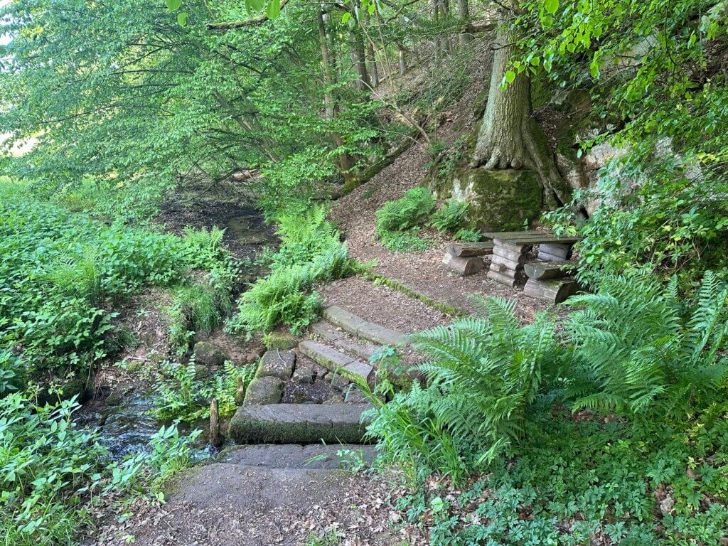
The small river Garte begins near Weißenborn and runs into the river Leine south of Göttingen. Its valley was once famous for the Gartetalbahn, a narrow-gauge railway running from Göttingen to Duderstadt. Today it is a route for a very relaxed bike ride starting in the south of Göttingen and leading towards the Eichsfeld. You can ride to Duderstadt, but the railway track gets lost at Rittmarshausen – why not divert to the Gartequelle instead?
- Length: 40 km
- Highlights: Historische Spinnerei Gartetal, Negenborn-Quelle, Garte-Quelle
- Starting point: south of Göttingen, Duderstädter Landstraße / Steinmetzkurve
- End point: south of Göttingen, Duderstädter Landstraße / Steinmetzkurve
- Komoot: https://www.komoot.com/tour/2891848685
Dransfelder Rampe
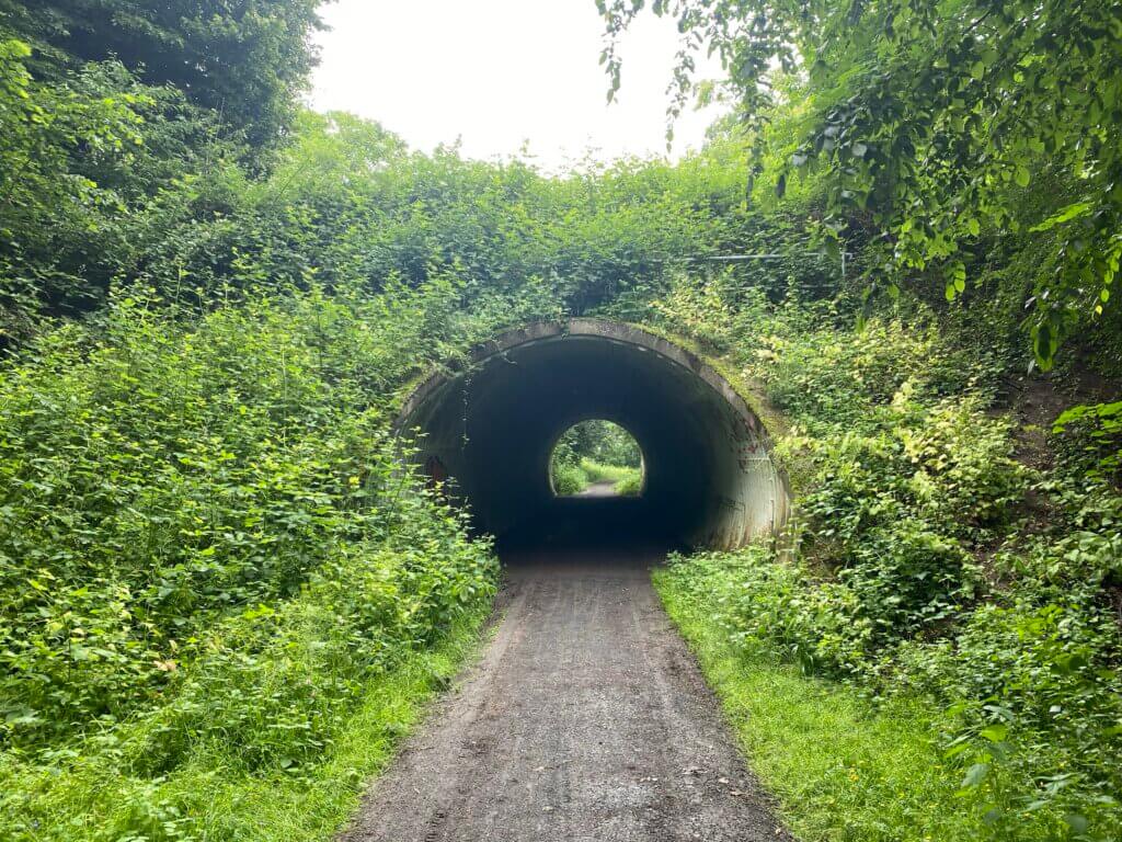
The track of the former railway connecting Göttingen to Kassel (Hannöversche Südbahn). via Dransfeld and Hann. Münden is still accessible in many areas – a route that was geographically suboptimal because of the very high inclination in a section called Dransfelder Rampe (‘Dransfeld ramp’). It was nevertheless built because it was the only route from Göttingen to Hann. Münden without leaving the territory of the Kingdom of Hannover. You can use it via Dransfeld to Scheden and then explore an old railway tunnel and stop in the forest.
- Length: 57 km
- Highlights: Dransfelder Rampe, Volkmarshäuser Tunnel
- Starting point: Göttingen railway station
- End point: Göttingen railway station
- Komoot: https://www.komoot.com/tour/2891849724
Leinetal
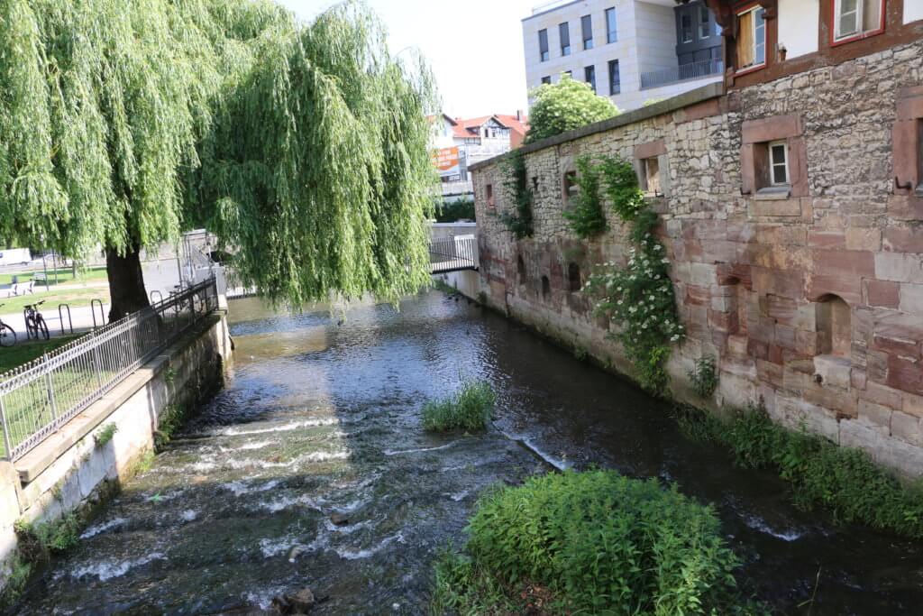
Göttingen is shaped by the river Leine which originates in Leinefelde not far away and runs into river Aller near Eickeloh. You can do a 75 km long ride to the source or just go north along the river to the city of Northeim which sums a up to a nice roundtrip of 50 km.
- Length: 50 km
- Highlights: Burgruine Hardenberg, Northeimer Seenplatte
- Starting point: Göttingen railway station
- End point: Göttingen railway station
- Komoot: https://www.komoot.com/tour/2891850714
Wendebachstausee
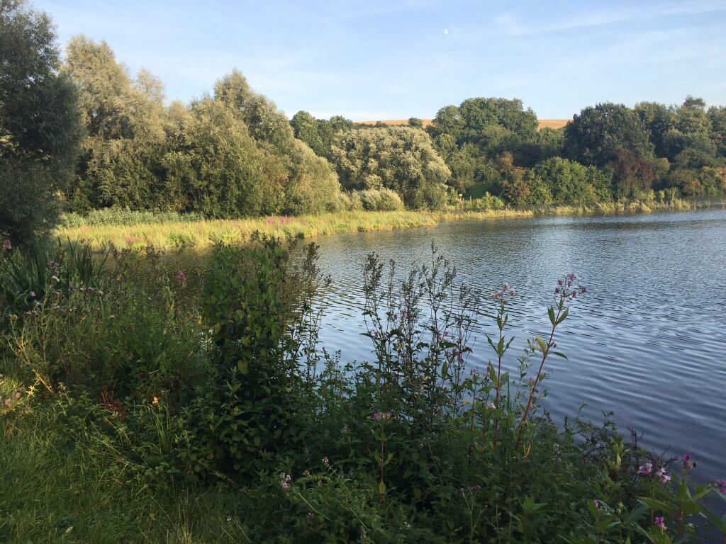
Yes, there are faster routes to access the beautiful artificial lake used for recreation – but if you choose the route via Klein Lengden and Diemarden you can visit one of the outliers of the Planetenweg, the dwarf planet candidate Sedna, a transneptunian space object. And afterwards you can rest at the shore of the lake before returning to the city.
- Length: 20 km
- Highlights: Planetenweg: Sedna, Wendebachstausee
- Starting/end point: Geismar Altdorf
- Komoot: https://www.komoot.com/de-de/tour/2821296806
Hardegsen
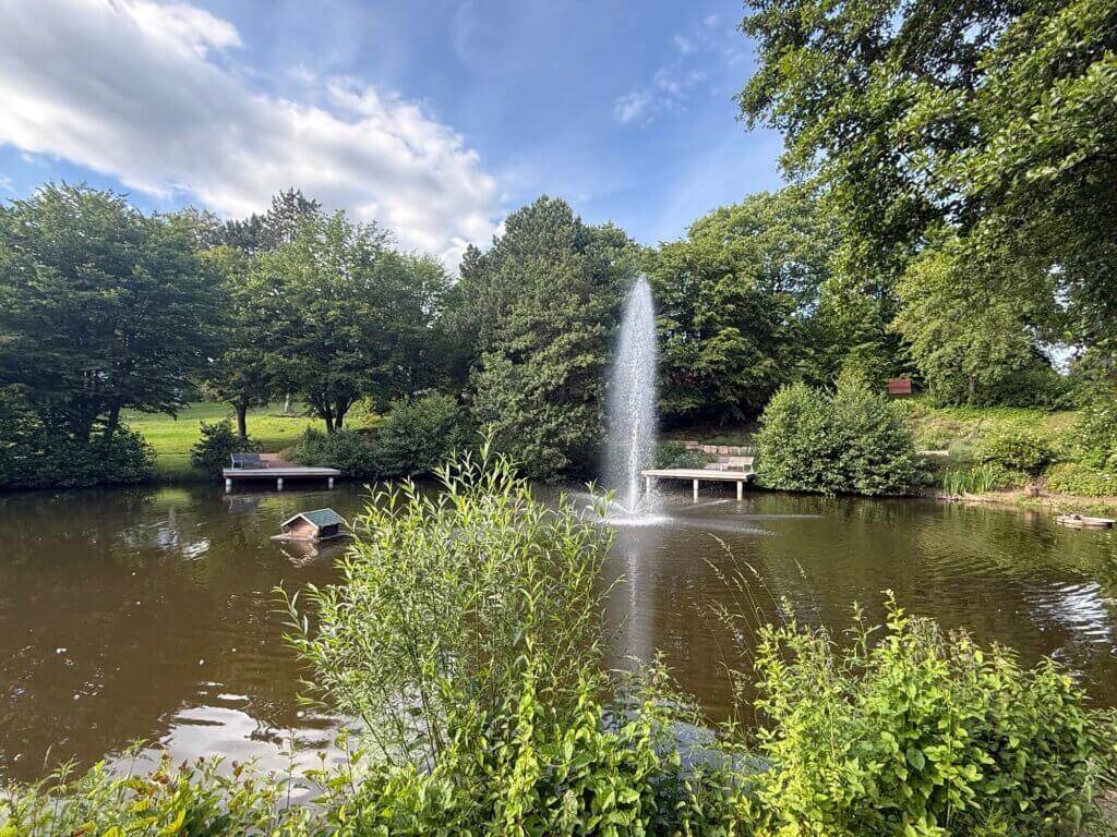
If you need a mud-free track after a rainy day and you don’t want too much traffic around you I would always opt for the route to the Eselstadt Hardegsen. After leaving Göttingen, you’ll pass through villages like Lenglern, Harste and Gladebeck before you ride through the open landscape and pass between the mountains to Hardegsen. There, you can have a look at the Burg Hardegsen and relax a bit in the surprisingly nice Kurpark before returning through Hevensen, Wolbrechtshausen and Lütgenrode to Göttingen.
- Length: 38 km
- Highlights: Burg Hardegsen, Kurpark
- Starting/end point: railway station of Göttingen
- Komoot: https://www.komoot.com/de-de/tour/3024649668
Hoher Hagen
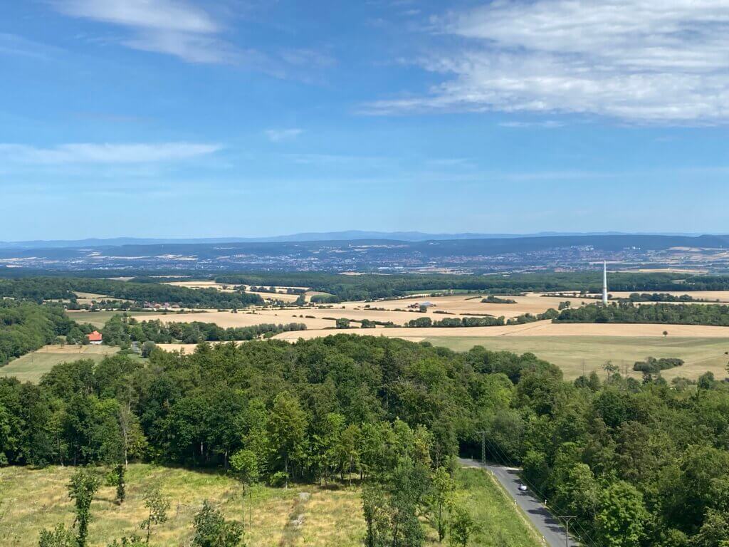
If you want to challenge yourself, you can take the 45 km course of the Tour d’Energie: After passing Rosdorf you’ll pass Mengershausen and take a long ramp up the hill to Bördel. From there you can enjoy a short rush downhill to Dransfeld where the real pain begins: once you’ve passed the local school, you head out into the forest again and steadily up the Hoher Hagen until you reach the Gaußturm. And then it feels like you’re done – the rest is 24 kilometers downhill. Via Jühnde, Mariengarten, Volkerode and Sieboldshausen you get back to Rosdorf. The final kilometres descend back towards Göttingen.
- Length: 45 km
- Highlights: Kiessee, Hoher Hagen, Gaußturm
- Starting/end point: Jahnstadion / Kiessee.
- Komoot: https://www.komoot.com/de-de/tour/2792036855
Thüringen
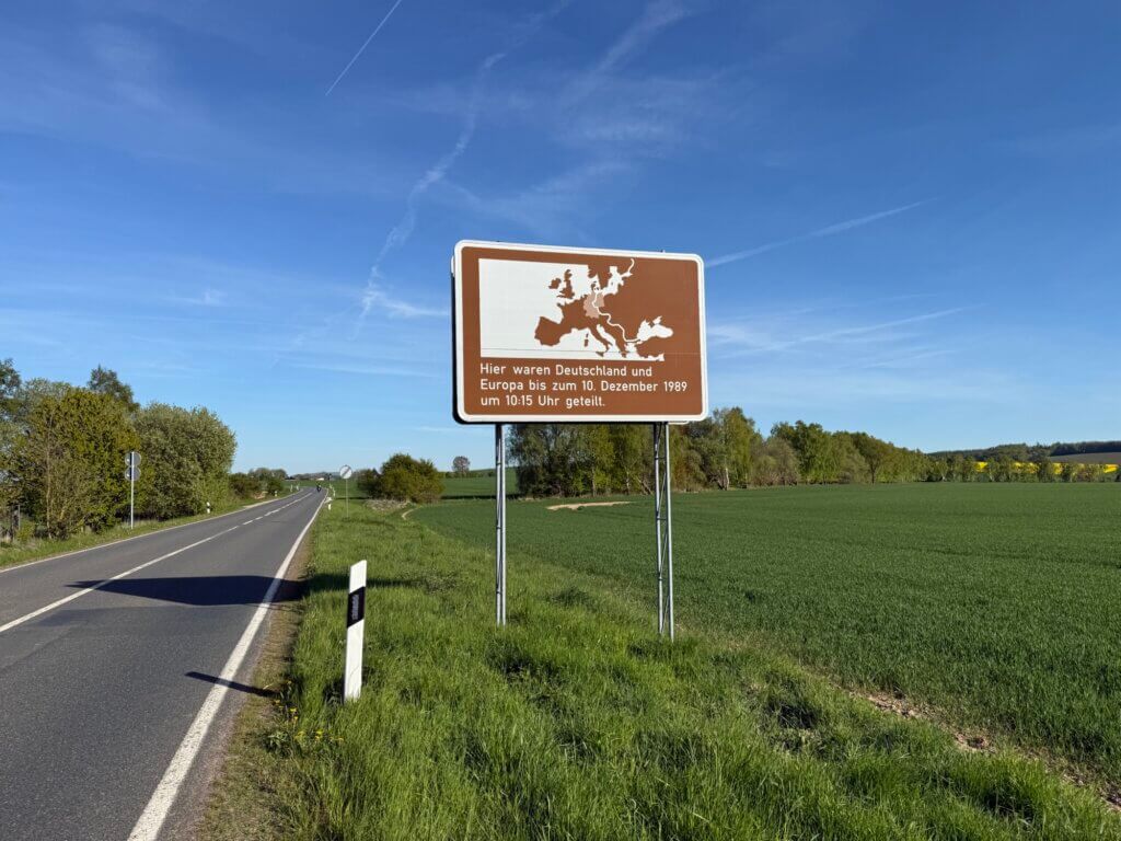
If you want to experience first-hand how close the border between the two divided German states was to Göttingen, take a ride through the wonderful landscape of Gleichen (belonging to Niedersachsen) in the direction of Heilbad Heiligenstadt (belonging to Thüringen, once part of the DDR). Behind Bremke you’ll see a sign telling you that Germany and Europe were dived at this place until December 10th, 1989. And if you want to learn more about how this border once looked like, consider visiting the Grenzlandmuseum at Teistungen.
- Length: 65 km
- Highlights: Historische Spinnerei Gartetal, former inner-German border
- Starting point: south of Göttingen, Duderstädter Landstraße / Steinmetzkurve
- End point: south of Göttingen, Duderstädter Landstraße / Steinmetzkurve
- Komoot: https://www.komoot.com/de-de/tour/2915248820
In the region
The location of Göttingen and the good public transport connections give you many options to extend your reach to the Naturpark Harz, the Naturpark Solling, you can discover the Reinhardswald and the Weser valley, get over the border to Hesse or Thuringia and explorer the former inner-German borderland along the river Werra.
Bad Karlshafen
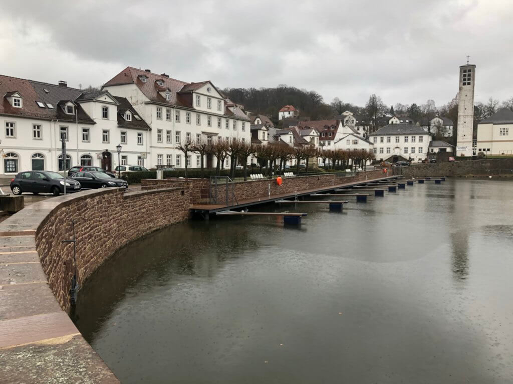
Bad Karlshafen is a lovely harbor and spa city at the river Weser. It became important as the most northern river harbor of Hesse and was connected by a railway to Kassel (Carlsbahn); a nice track that has now been converted into a bicycle path. You can take the relaxed route from Hofgeismar–Hümme in an hour, pass castles and an abandoned railway tunnel (Carlsbahntunnel)
- Length: 19,6 km
- Highlights: Trendelburg, Carlsbahntunnel, Wasserschloss Wülmersen, Krukenburg
- Starting point: Hofgeismar–Hümme
- End point: Bad Karlshafen
- Komoot: https://www.komoot.com/de-de/tour/446116124
Edersee
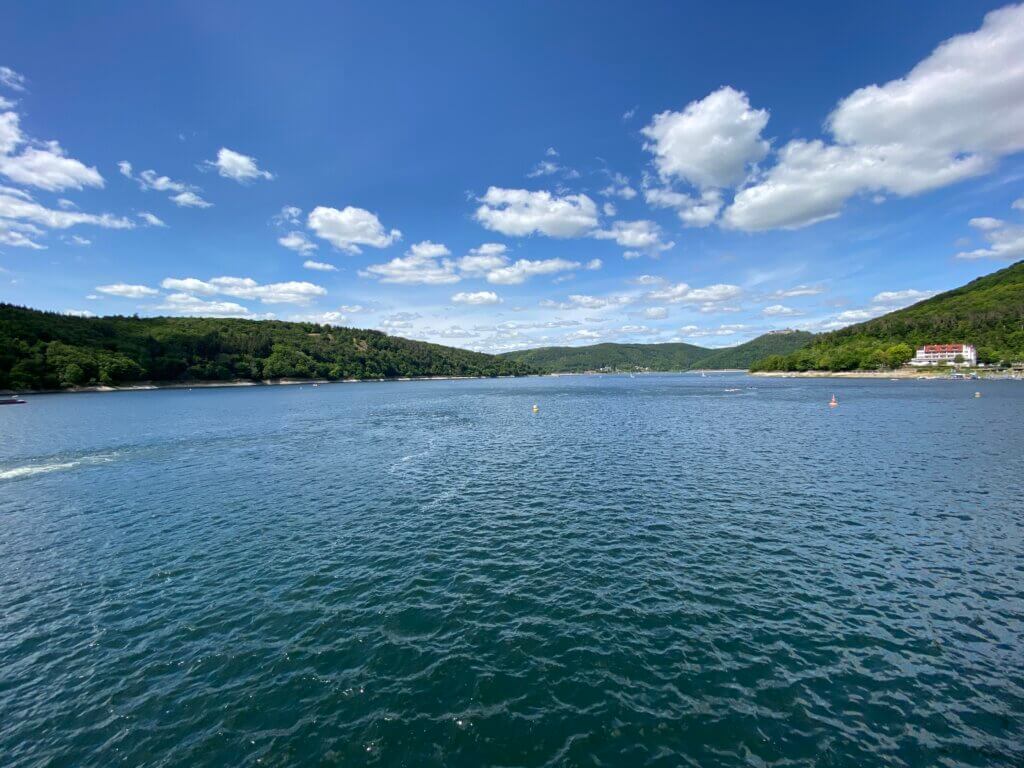
The Edersee is a vast artificial lake created for hydroelectric energy production, but also a beloved recreation and sports zone. If you want to do some sports, you can reach the lake from Kassel along the rivers Fulda and Eder – a very pleasant ride, only the ascent to the dam in the end is a bit painful. Therefore, you’re rewarded on top with a cold drink and some fries if you like.
- Length: 140 km (you can shorten the route by train)
- Highlights: Felsburg, Affolderner See, Edersee
- Starting point: Kassel railway station
- End point: Kassel railway station
- Komoot: https://www.komoot.com/de-de/tour/712974407
If you prefer a much shorter route, consider the former Ederseebahn railway as an alternative. Starting from Korbach it takes you in 1,5 relaxed hours to the lake.
- Length: 32 km
- Highlights: Ederseebahn, Affolderner See, Edersee
- Starting point: Korbach railway station
- End point: Edersee
- Komoot: https://www.komoot.com/de-de/tour/870779470