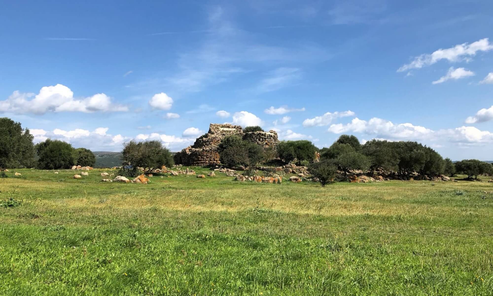
Hiking in and around Göttingen offers some delightful opportunities, though the region is far from being a hiker’s paradise. Much of Südniedersachsen boasts gentle hills, quiet forests, and picturesque farmland, perfect for relaxed day walks rather than challenging treks. However, the area suffers from a noticeable lack of well-marked, official hiking routes. Lower Saxony’s investment in developing and maintaining long-distance trails has been rather limited, leaving many scenic corners underpromoted and poorly signposted. As a result, exploring smaller local paths often requires a good map or GPS rather than relying on trail infrastructure.
Fortunately, the location of Göttingen works in your favour. Just across the border, both Hessen and Thüringen offer remarkably better hiking opportunities, with established routes, clearer markings, and improved facilities. The Reinhardswald and Kaufunger Wald in Hessen or the Eichsfeld and Thüringer Wald in Thüringen are all within comfortable distance. These regions blend forest landscapes, traditional villages, and panoramic viewpoints – ideal for a weekend hike or a spontaneous outdoor escape.
Round courses
Due to the lack of hiking courses in the region I’ve defined two round courses leading in circles around the city of Göttingen. They are both quite challenging but worth taking and all sections are accessible without a a car. The round courses are inspired by the Kassel-Steig which leads around the city of Kassel and where also every section is easily accessible by public transport. In contrast to the Kassel-Steig, the round courses near Göttingen are not marked.
Göttingen-Runde
The 140‑kilometre round‑course hike encircling Göttingen offers perhaps the most rewarding way to experience the region in all its variety. Starting in Dransfeld and continuing through Adelebsen, Hardegsen, Nörten‑Hardenberg, Ebergötzen, Gleichen and Friedland before looping back, the trail unfolds across forests, gentle hills and open countryside that press close to the edge of the Harz foothills. Divided into seven well‑balanced sections between 16 and 25 kilometres each, it allows walkers to discover medieval castles, half‑timbered villages and quiet river valleys without ever straying far from the city. The route’s thoughtful design combines cultural interest with uninterrupted nature, making it the finest way to explore Südniedersachsen on foot. [more]
Südniedersachsen-Runde
The Südniedersachsen-Runde is a thoughtfully designed hiking circuit offering a rich cross-section of landscapes and culture in the southern part of Niedersachsen. Beginning in the historic town of Hann. Münden, where the Fulda and Werra rivers merge to form the Weser, the route traces a broad loop through the varied countryside. It meanders via Bursfelde’s quiet monastery setting, climbs into the wooded Solling near Uslar, and reaches Northeim, known for its scenic lakes and traditional town centre. From there, the path skirts the southern edge of the Harz, passing through Herzberg am Harz and descending towards the Eichsfeld hills around Duderstadt before looping back via Weißenborn, Eichenberg, Hedemünden and finally returning to Hann. Münden. [more]
Hiking near the city
The most obvious area to hike in at Göttingen is the Stadtwald east of the city. Beloved access point is the Kehr with sites like the Bismarckturm closeby. Behind that you’ll find the former military ground Kerstlingeröder Feld and two viewpoints east of it. A classic is also the hike to Burg Plesse above Bovenden, conveniently accessible from the city quarter Nikolausberg.
Kerstlingeröder Feld
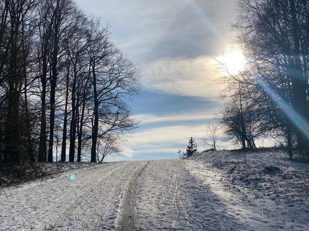
The Kerstlingeröder Felder is an area within the forest that has been used for different purposes over time. Today you can discover ruins of a former estate once managing this land, find the strange remains of military forces like a tank washing area, you can just hang out in the green, and there are also excellent paths for cyclists and runners. The Kerstlingeröder Felder goes back to medieval times when more fields were needed to grow food. For that reason, the trees in this area were removed around the year 1300 by the lords of Kerstlingerode, a small village further east. [more]
- Length: 6.4 km
- Highlights: Kerstlingeröder Feld, Wildgehege am Kehr
- Access to route: bus stop Grete-Henry-Straße, bus 21.
- Komoot: https://www.komoot.com/de-de/smarttour/40858945
Kartoffelstein
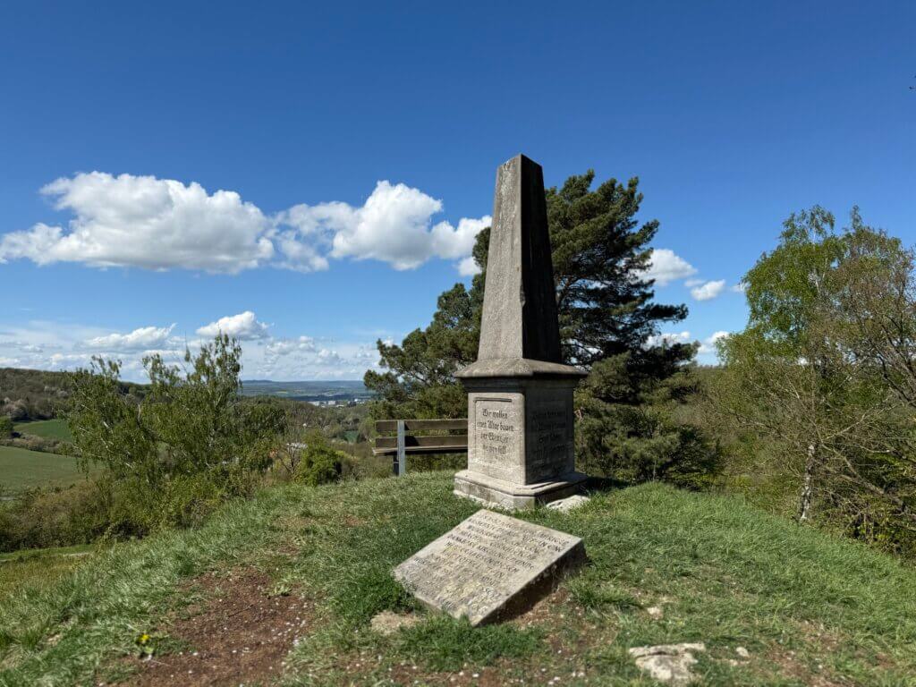
The Kartoffelstein near Herberhausen is a commemorative stone that was erected in 1852 by the Herberhausen parish. The occasion was the end of a severe famine caused by several successive potato crop failures, especially in 1846. After a finally successful potato harvest, the community set up this stone as a sign of gratitude. The original stone, an old gravestone from the Roringen cemetery, was damaged several times by lightning and was reworked in 1937 and replaced in 1966 by a weatherproof version made of shell limestone. [more]
- Length: 10.5 km
- Highlights: Kartoffelstein, Wildgehege am Kehr
- Access to route: Herberhausen bus stop, reachable via lines 91/92.
- Komoot: https://www.komoot.com/de-de/smarttour/23695686
Hünstollenturm
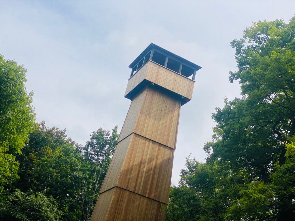
Amazing views await those, who are willing to hike a while through the Göttingen forest. The Hünstollen is a 423 meters high mountain in the northeast of the city, officially belonging to Bovenden. Because of high cliffs this place was easily made a fortification in earlier days. Since 1882 there was a protective hut and a restaurant at this place and later a wooden tower was created from which you can see the Harz mountains but also the Gaußturm on the Hoher Hagen mountain. [more]
- Length: 7.9 km
- Highlights: Hünstollenturm
- Starting point/End point: bus stop Bösinghausen-Ortsmitte, bus 160.
- Komoot: https://www.komoot.com/de-de/smarttour/739607
Harzblick
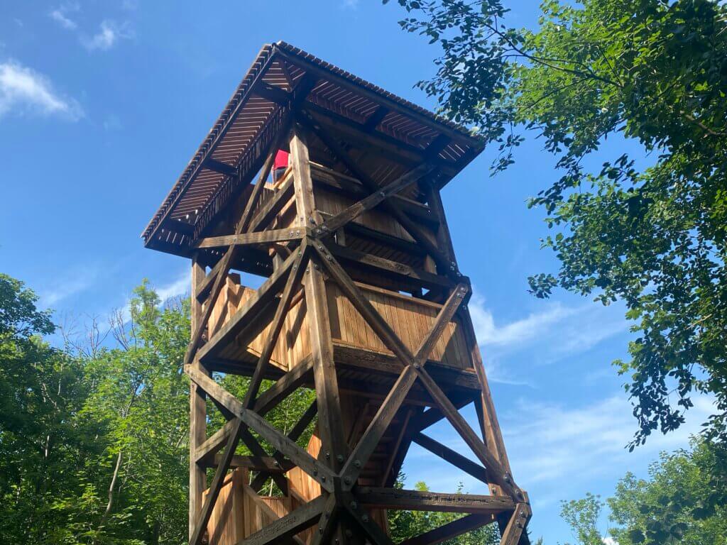
Is it possible to see the Harz mountains from Göttingen? Not always, but sometimes. The Brocken is 60 kilometers afar, but from the Harzblick tower you’ve got a fair chance. The 35 meters high tower is located near the Mackenröder Spitze in the forest of the city. It was first built in 1897 and had to be rebuilt more than once. In 2021 it was refurbished again and from its top you can see the Seeburger See and the Gleichen – and on good days also the Harz mountains. [more]
- Length: 9.9 km
- Highlights: Harzblick
- Starting point / end point: bus stop Herberhausen, busses 91/92.
- Komoot: Mackenröder Spitze from Herberhausen
Plesse
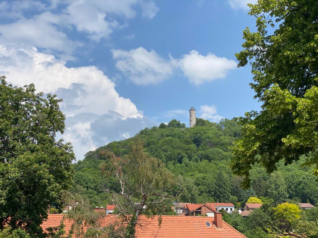
A famous hiking destination for people living at Göttingen, Germany, is the Burg Plesse – it is a castle ruin high above the village Eddigehausen belonging to Bovenden. It was first mentioned in the year 1015 and offers fantastic views on the valley of the river Leine. You can visit the castle free of charge and there are two towers; you can climb onto one of them to have even better views. On the castle grounds, there is also a restaurant, the Burgschänke. [more]
- Length: 13.3 km
- Highlights: Burg Plesse
- Starting point/end point: bus stop Im Hassel, bus 33.
- Komoot: https://www.komoot.com/de-de/smarttour/33222692
Hiking outside the city
If you’re willing to travel a bit more, the region offers interesting hikes at Gleichen and around Duderstadt. From Göttingen you can also do nice tours in Northern Hesse (e.g. at the Reinhardswald), at the neighboring federal state of Thüringen and within the Harz mountains.
Gleichen: Burg Gleichen
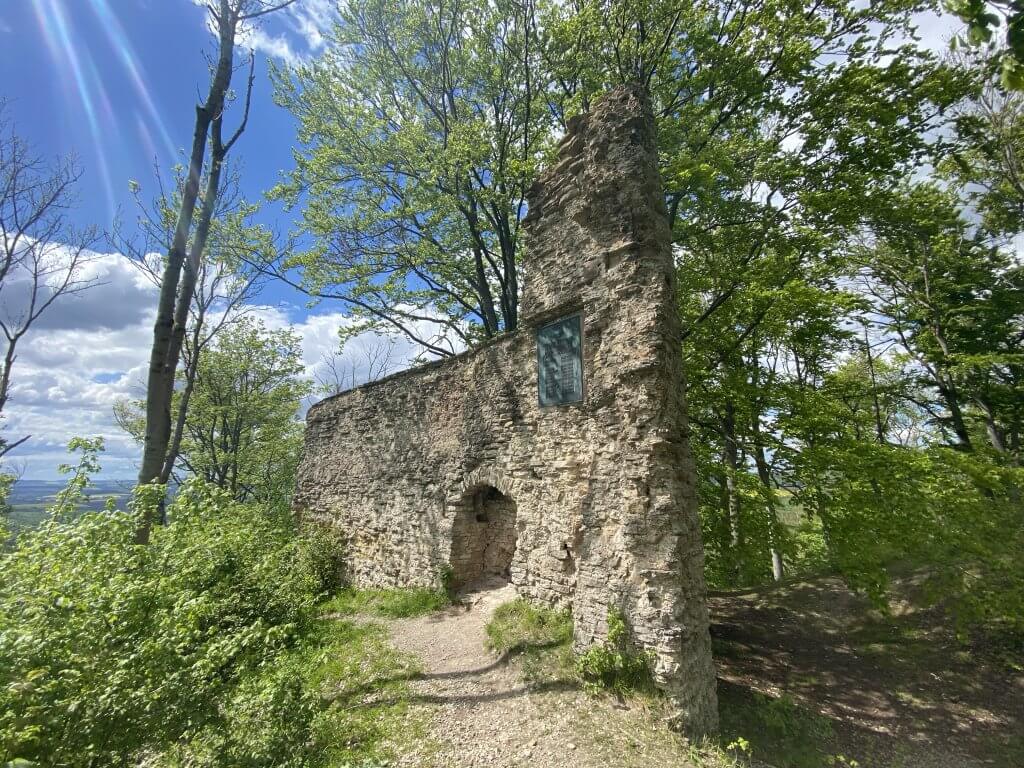
Fields of wild garlic, two mountains, two castle ruins and amazing views – what does one need more for a nice excursion? If you’re in the mood for climbing a 432 meters high mountain duo and exploring ancient ruins – then make your way for the Gleichen at Gleichen, Germany. [more]
- Length: 8.1 km
- Highlights: Burgruine Gleichen
- Starting point/end point: bus stop Benniehausen-Eichenkrug, bus 150/154/155.
- Komoot: https://www.komoot.com/de-de/smarttour/40857312
Gleichen: Jägersteine
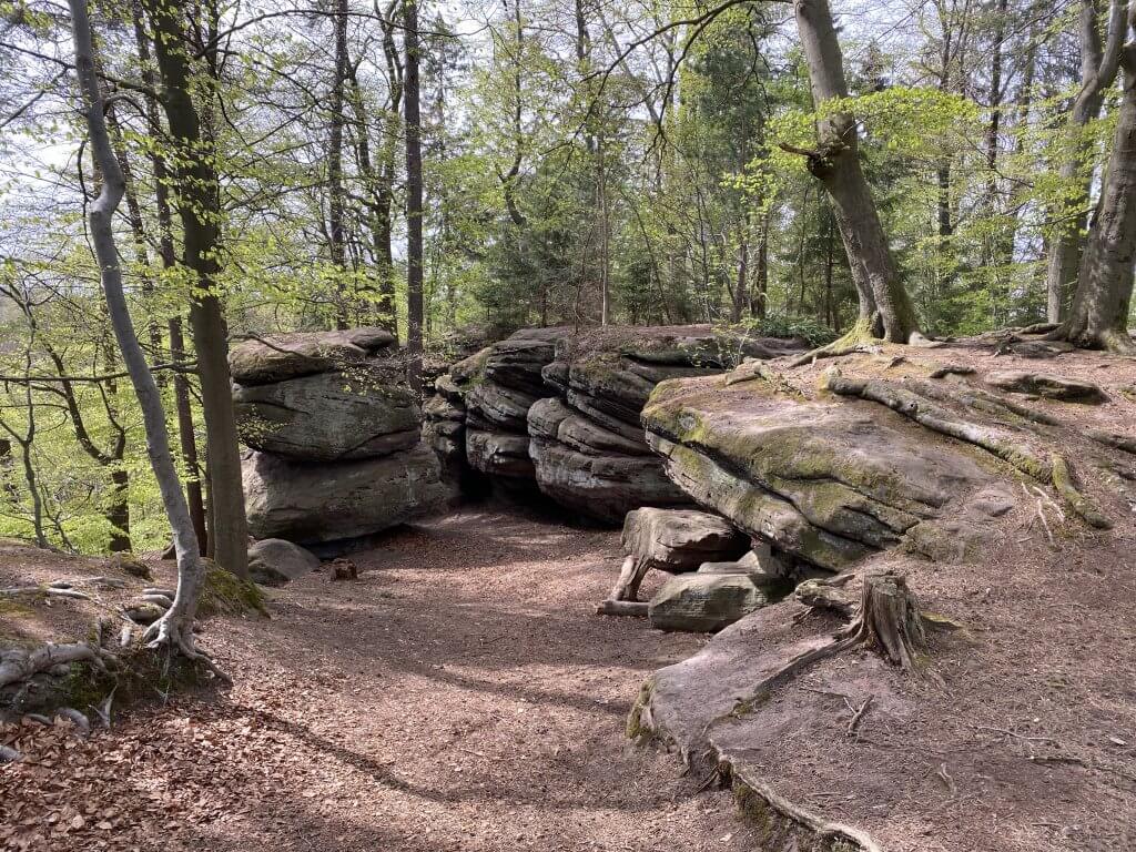
Deep in the Reinhäuser Wald (Reinhausen forest), you can find the Jägersteine or Jägerstein (hunters stone), an impressive sandstone formation with different small caves to explore, passages to pass through and crevices to jump over. It’s a lovely hiking destination and a good place to just hang around and play a bit in nature. [more]
- Length: 10.2 km
- Highlights: Jägersteine, Hurkutstein
- Starting point/end point: bus stop Reinhausen-Reinstraße; bus 155.
- Komoot: https://www.komoot.com/de-de/smarttour/33145052
Schloss Berlepsch
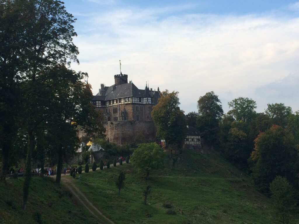
Schloß Berlepsch is a castle in the no man’s land surrounding Witzenhausen, Germany (close to Göttingen and Hann. Münden). Situated within the hills along the river Werra it can be seen from near and far. It has been built from 1369 on and has been invaded by several armies crossing the country during the centuries. Today it is a well preserved castle still owned by the family that once built it. [more]
- Length: 20.3 km
- Highlights: Schloss Berlepsch
- Starting point: Eichenberg railway station, accessible by regional train from Göttingen
- End point: Friedland railway station, accessible by regional train from Göttingen
- Komoot: Eichenberg-Berlepsch-Friedland
Wernigerode: Brocken
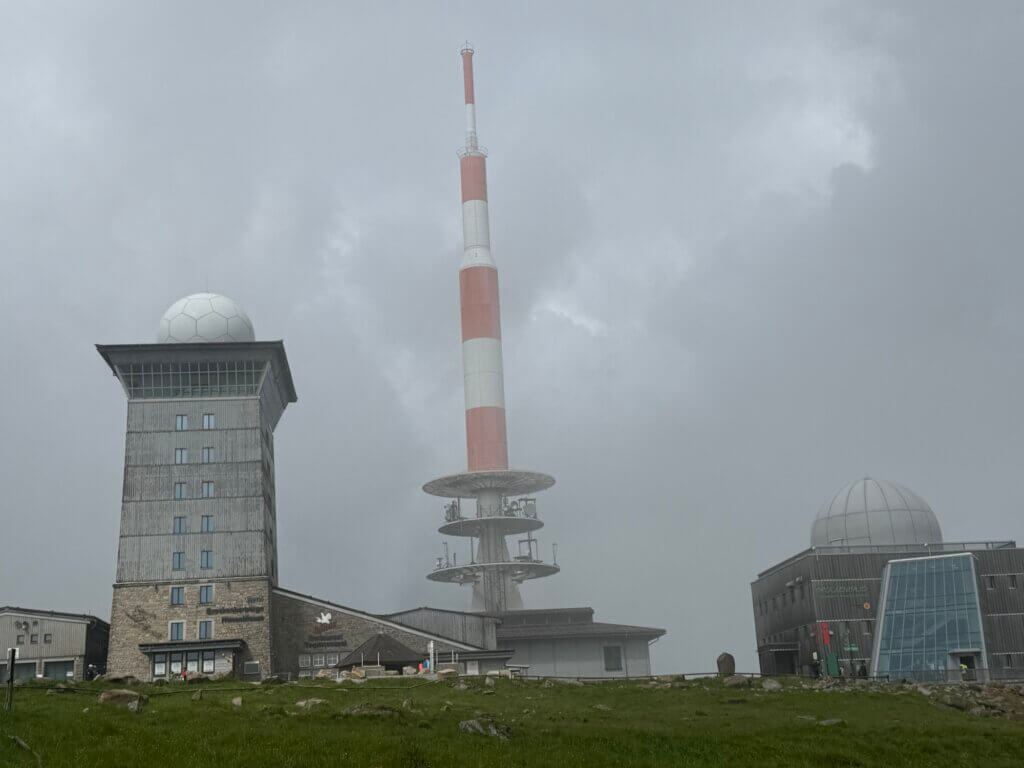
A classic in the Harz region: Hike from Braunlage along the Kalte Bode stream up the hill to the Brocken plateau. If you’re fast you can do the 12.5 km uphill in 2.5 hours; or you enjoy the hike up in a more relaxed mode. Afterwards descend down to the nice village of Schierke, pass over to Elend and make a long ascend up to the Wurmberg mountain. With nice views you’re returning back downhill to Braunlage. If you need a shorter way up, for example when hiking with kids, consider starting from Schierke instead.
- Length: 33.9 km
- Highlights: Brocken, Brockenbahn, Schierker Feuerstein Stammhaus, Wurmberg
- Start & end point: Neue Mitte, Braunlage
- Komoot: Brockenaufstieg
Heiligenstadt: Iberg
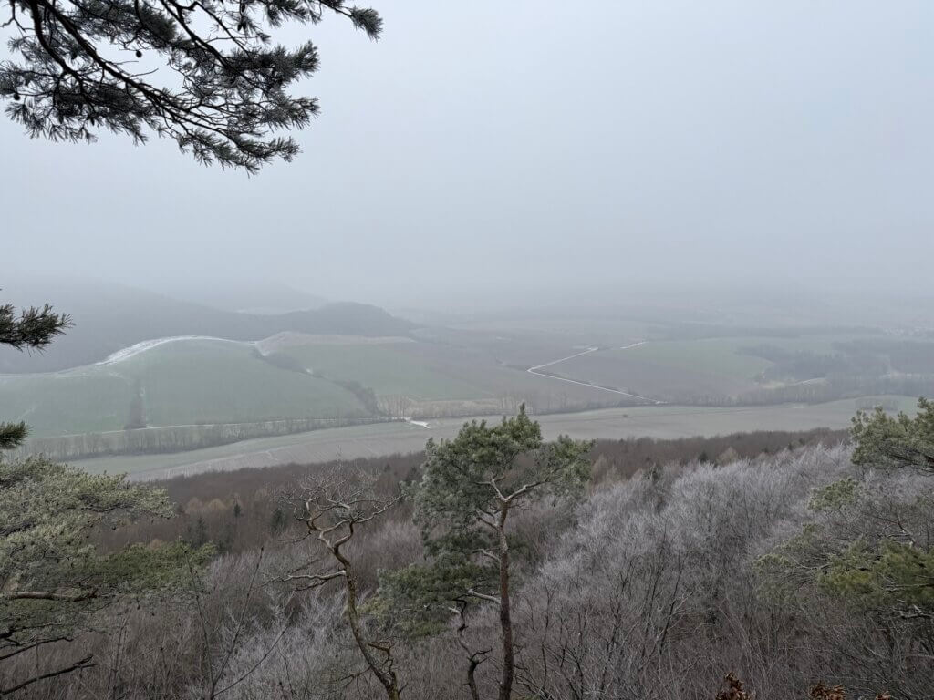
Rising gently above Heilbad Heiligenstadt, the Iberg mountain offers a rewarding and well-marked hiking circuit known as the TOP-Wanderweg „Erlebnis Iberg“. This route showcases the diverse natural and historical features of northern Thüringen. Although the trail involves a noticeable incline, particularly during the gradual ascent through the Langes Tal (‘long valley‘), the climb unfolds in a comfortable rhythm, making it suitable for anyone with moderate hiking experience. The path is well-maintained, with clear signposts and rest areas that invite you to take in the surrounding forested landscape. [more]
- Length: 12,8 km
- Access: via regional train from Göttingen to Heilbad Heiligenstadt (12 min).
- Komoot: TOP Wanderweg Erlebnis Iberg
Eisenach: Drachenschlucht
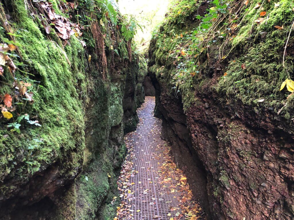
A narrow valley, a beautiful gorge: the Drachenschlucht (dragon canyon) at Eisenach, Germany is a good place for a nice walk; in fact one of the most beautiful I‘ve ever done in a gorge. Through the Mariental you can walk on a well-maintained path consisting of wooden and sometimes metal walkways. It leads along and above the water of the small river and sometimes the gorge is very narrow (at minimum 68 cm) – only one person can pass at a time. [more]
- Length: 10,4 km
- Access: via (regional) train from Göttingen to Eisenach.
- Komoot: Drachenschlucht: Schluchtentour bei Eisenach
A word on ticks
Ticks are small, blood‑feeding arachnids that live in grasses, shrubs, and woodland undergrowth. Humans usually come into contact with them while walking, hiking, or sitting in nature, especially when brushing against vegetation where ticks wait and latch onto passing hosts. They do not jump or fall from trees but climb onto skin or clothing and then look for a suitable spot to bite. In Südniedersachsen they are common in many green areas, and their activity peaks from spring through early autumn, particularly in warm and humid conditions.
The local tick population is not known to transmit FSME, but roughly one in a hundred ticks can carry Borrelia bacteria, which may cause borreliosis (Lyme disease). Wearing long trousers and covering your legs while hiking is a sensible precaution, although it does not offer complete protection. The most important measure is to check your body carefully after spending time outdoors. If you find a tick, do not panic; remove it completely with fine tweezers or a tick tool and keep an eye on the bite site for about three weeks. If a red ring appears around the area – even after two to three weeks – seek medical advice promptly. Treatment is usually straightforward with a course of broad‑spectrum antibiotics for 10 to 14 days. The real risk comes from infections that go unnoticed and untreated, as these can lead to more serious health problems later on.