The 140‑kilometre round‑course hike encircling Göttingen offers perhaps the most rewarding way to experience the region in all its variety. Starting in Dransfeld and continuing through Adelebsen, Hardegsen, Nörten‑Hardenberg, Ebergötzen, Gleichen and Friedland before looping back, the trail unfolds across forests, gentle hills and open countryside that press close to the edge of the Harz foothills. Divided into seven well‑balanced sections between 16 and 25 kilometres each, it allows walkers to discover medieval castles, half‑timbered villages and quiet river valleys without ever straying far from the city. The route’s thoughtful design combines cultural interest with uninterrupted nature, making it the finest way to explore Südniedersachsen on foot.
All section start and end points can be reached by public transport (either bus or train) directly from the railway station of Göttingen. That makes accessing the sections really easy and you don’t need to have a car to explore the region.
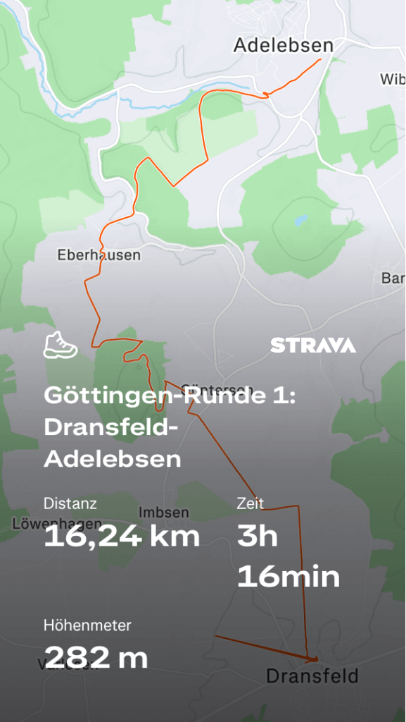
Section 1: Dransfeld-Adelebsen
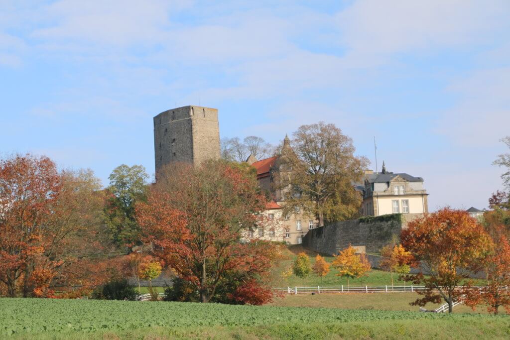
A relaxed start from the center of the Hasenmelker-Stadt Dransfeld. After using the tunnel under the Hannöversche Südbahn, the track leads you straight out into the green. The small river Auschnippe will be a companion multiple times during the hike. In Güntersen you climb up to the Backenberg and discover the lovely hidden lake. After passing Eberhausen and the Auschnippetal, a last steep ascent is needed. With great views you descend to the city of Adelebsen and can visit the city center and the Burg. Near the railway station you’ll find a grocery store open everyday except Sunday.
- Length: 16,6 km
- Highlights: Backenberger See, Burg Adelebsen
- Starting point: bus stop Dransfeld–Immenstraße, direct bus 120 from Göttingen.
- End point: railway station of Adelebsen, direct train to Göttingen.
(You can alternatively also use bus 210, starting directly in front of the railway station). - Komoot: Göttingen-Runde 1: Dransfeld-Adelebsen
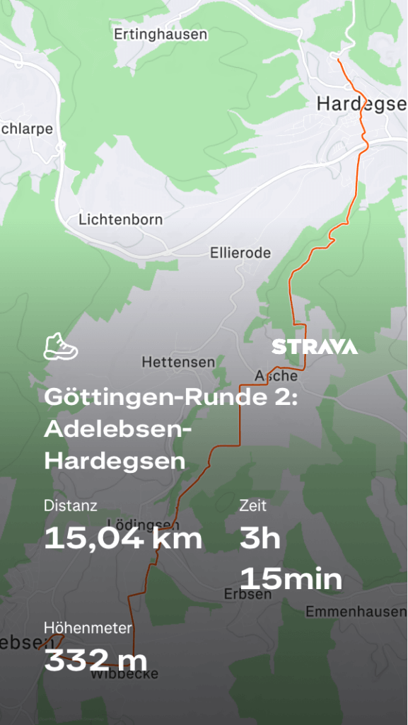
Section 2: Adelebsen-Hardegsen
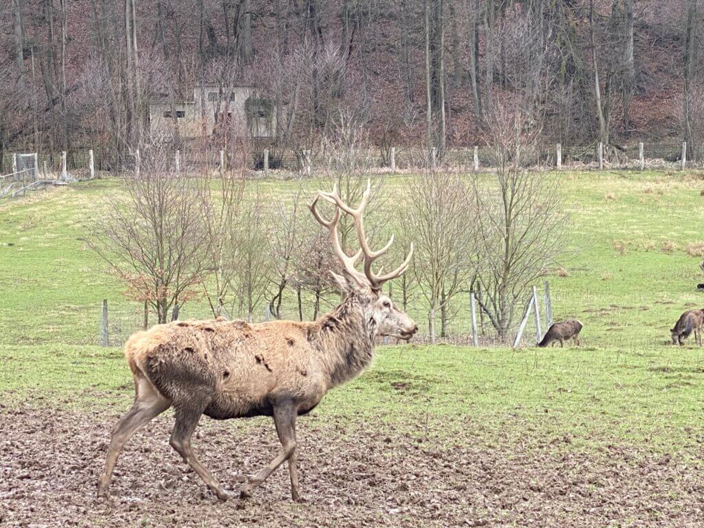
After arriving at the railway station of Adelebsen, you first have to get on the other side of the railway tracks and do the ascent to Wibbecke. From there the track leads you to the Stapelberg which contains a lovely narrow trail through the forest – one of the best parts of this section. Walking down to Lödingsen means afterwards getting up the mountain ago towards Asche; on you way you can have a rest at the Mühlenberg-Schutzhütte. After passing Asche, the track leads you steadily up the last real hill of the section. The climb is rewarded with wonderful forest paths on the ridge of the mountain and a slow and pleasant descent to the city of Hardegsen where you can discover the remains of the former castle or visit some animals at the Wildpark.
- Length: 16 km
- Highlights: Burg Hardegsen, Wildpark Hardegsen
- Starting point: railway station of Adelebsen, direct train from Göttingen.
(You can alternatively also use bus 210). - End point: railway station of Hardegsen, train via Northeim to Göttingen.
(You can also take bus 220 to Hardegsen, but the bus stop close to the town hall / Rathaus and not near the railway station). - Komoot: Göttingen-Runde 2: Adelebsen-Hardegsen
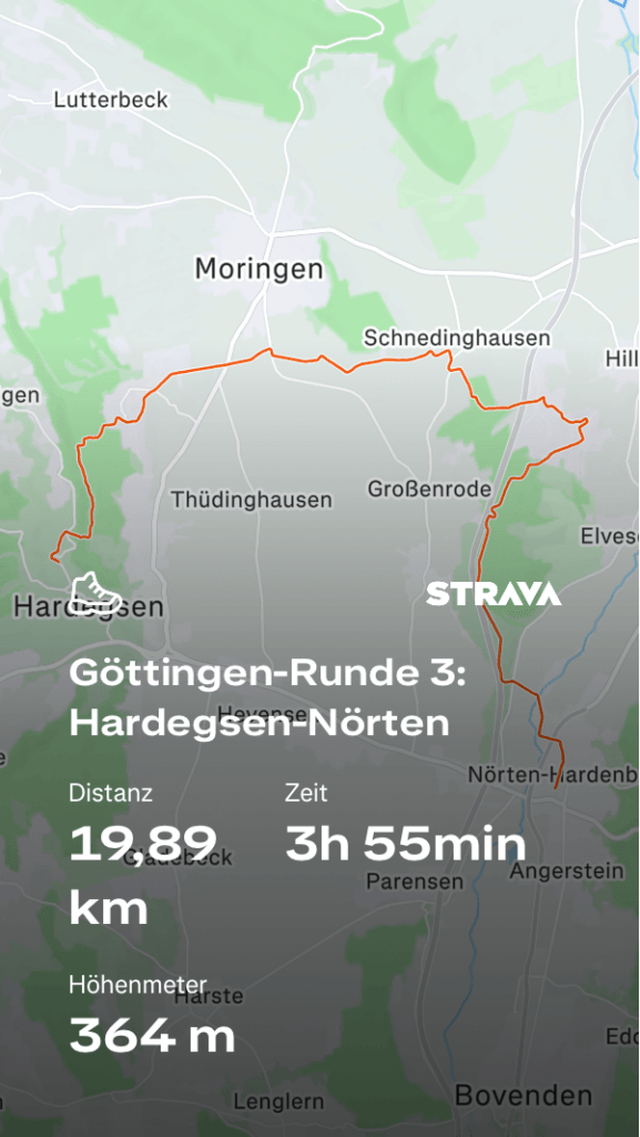
Section 3: Hardegsen-Nörten
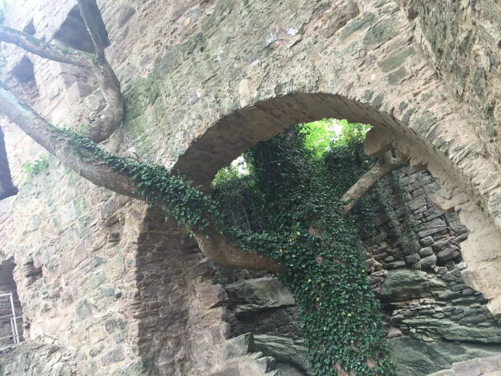
Yes, there would be faster ways to get from Hardegsen to Nörten-Hardenberg, but this tour takes you on a slope north and makes the hike sufficiently long. After leaving the railway station, you’ll have to do an uneasy walk up the mountain on narrow path. This is rewarded by the nice Weper-Kammweg which guides you some kilometers on the ridge of the mountain. Descend to Blankenhagen und pass Schedinghausen before hiking up to the nature protection zone Wahrberg with a monument for the local soldiers in World War I. Afterwards, make your way to the railway station of Nörten-Hardenberg.
- Length: 20,3 km
- Highlights: Weper-Kammweg, Wahrberg, Burgruine Nörten-Hardenberg
- Starting point: railway station of Hardegsen, train via Northeim from Göttingen.
(You can also take bus 220 to Hardegsen, but the bus stop close to the town hall / Rathaus and not near the railway station). - End point: railway station of Nörten-Hardenberg, direct train to Göttingen.
- Komoot: Göttingen-Runde 3: Hardegsen-Nörten
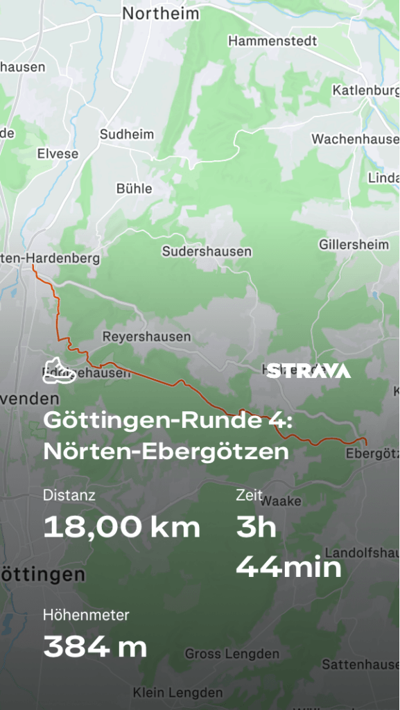
Section 4: Nörten-Ebergötzen
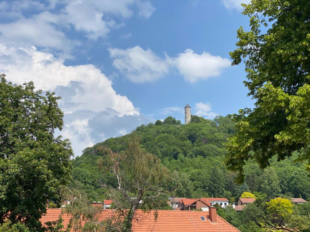
Pass through Nörten-Hardenberg in the direction of Bovenden and the hardest part of the section is right in front of you: the tough ascent to the Burg Plesse. Enjoy the views from up there, visit the restaurant on the castle grounds and then take the lang walk through the forest on the mountain. Enjoy the view on Billingshausen, walk around the Hünstollen mountain and descent through the valley of the small river Weißwasser to Ebergötzen. There you can visit the Europäisches Brotmuseum and the Wilhelm-Busch-Mühle, famous because of the adventures of Max and Moritz.
- Length: 19,2 km
- Highlights: Burg Plesse, Weißwassertal, Europäisches Brotmuseum, Wilhelm-Busch-Mühle
- Starting point: railway station of Nörten-Hardenberg, direct train from Göttingen.
- End point: bus stop Ebergötzen–Kirche, direct bus 160 to Göttingen.
- Komoot: Göttingen-Runde 4: Nörten-Ebergötzen
Section 5: Ebergötzen-Gleichen
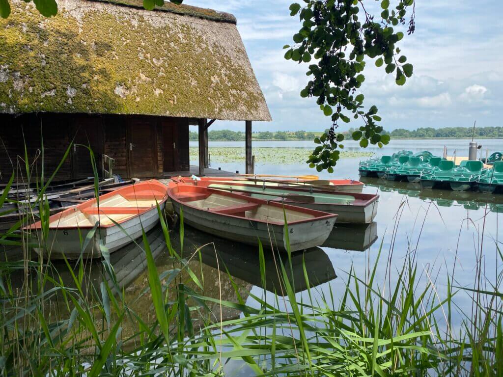
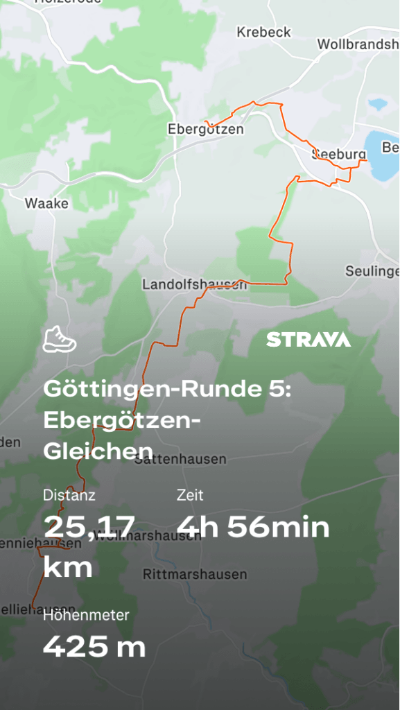
Maybe the most beautiful section with many good views, lush forests and many highlights. After returning to Ebergötzen, take a short hike along the small stream Aue to the Seeburger See. Ascent to the Seulinger Warte (with a nice restaurant) and enjoy great views on the Harz mountains and the Brocken. Relax on the hike down to Landolfshausen and over to Potzwenden before the steepest part of the section begins – the hike up along the Hengstberg. Once you reached the Köhlerhütte you’ll take the path down to Niedeck where you can get some dairy products at Traupes Milchhof and explore the Bürgergrotte on a narrow trail along the rocks. After getting down into the Gartetal cool your feet at the Negenborn-Quelle and prepare for the ascent through Benniehausen up to Gelliehausen.
- Length: 24,5 km
- Highlights: Seeburger See, Seulinger Warte, Bürgergrotte, Negenborn-Quelle
- Starting point: bus stop Ebergötzen–Kirche, direct bus 170 from Göttingen.
- End point: bus stop Gelliehausen–Ortsmitte, direct bus 154 to Göttingen.
- Komoot: Göttingen-Runde 5: Ebergötzen-Gleichen
Section 6: Gleichen-Friedland
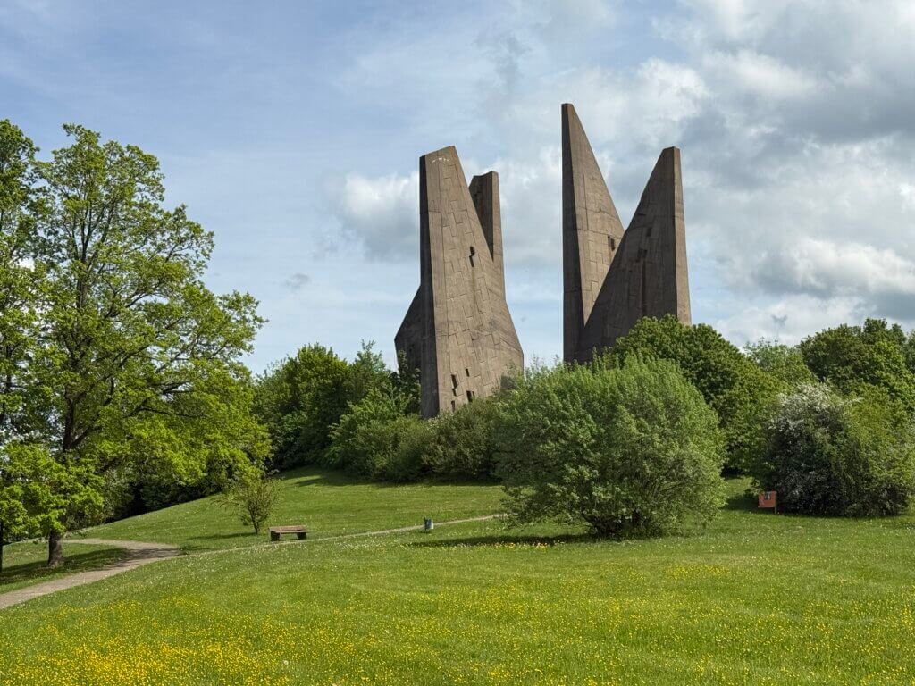
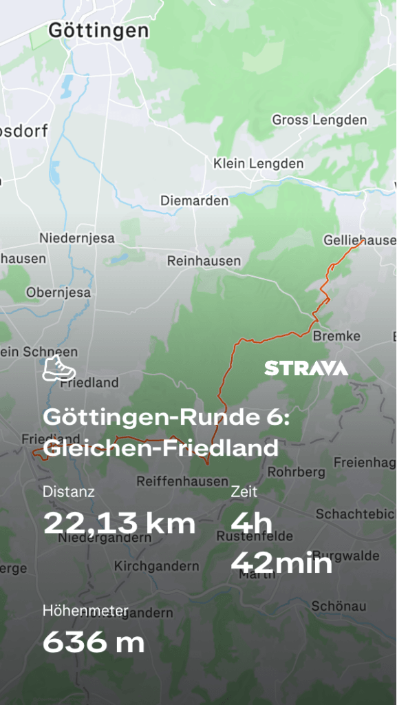
Arrive refreshed as this section kicks off with a steep ascent to the Burgruine Gleichen. If you arrive at the right time of the year, you‘ll do your way up and down on narrow paths leading through vast fields of wild garlic. And that’s just the start for one of the best sections. After descending down to Appenrode you need to find the narrow path up to the impressive sandstone formations often used by climbers. Once you’ve passed them on small trails switch to the next mountain and climb up to the Jägersteine (once used for hunting). Afterwards, enjoy long passages along the Speerberg and the Terkenberg mountain before getting down to Ludolfshausen and a close-to-alpine feeling. Climb up to the mountain ridge above Reiffenhausen, enjoy great views and pass over to the Steinkopf mountain where you can discover the Meridianstein once used by Carl Friedrich Gauß. Before getting on board of a train back to Göttingen make sure to visit the Heimkehrerdenkmal on a mountain next to the village.
- Length: 20,2 km
- Highlights: Burgruine Gleichen, Jägersteine, Meridianstein, Heimkehrerdenkmal
- Starting point: bus stop Gelliehausen–Ortsmitte, direct bus 154 from Göttingen.
- End point: railway station of Friedland, regional train to Göttingen.
- Komoot: Göttingen Runde 6: Gleichen-Friedland
Section 7: Friedland-Dransfeld
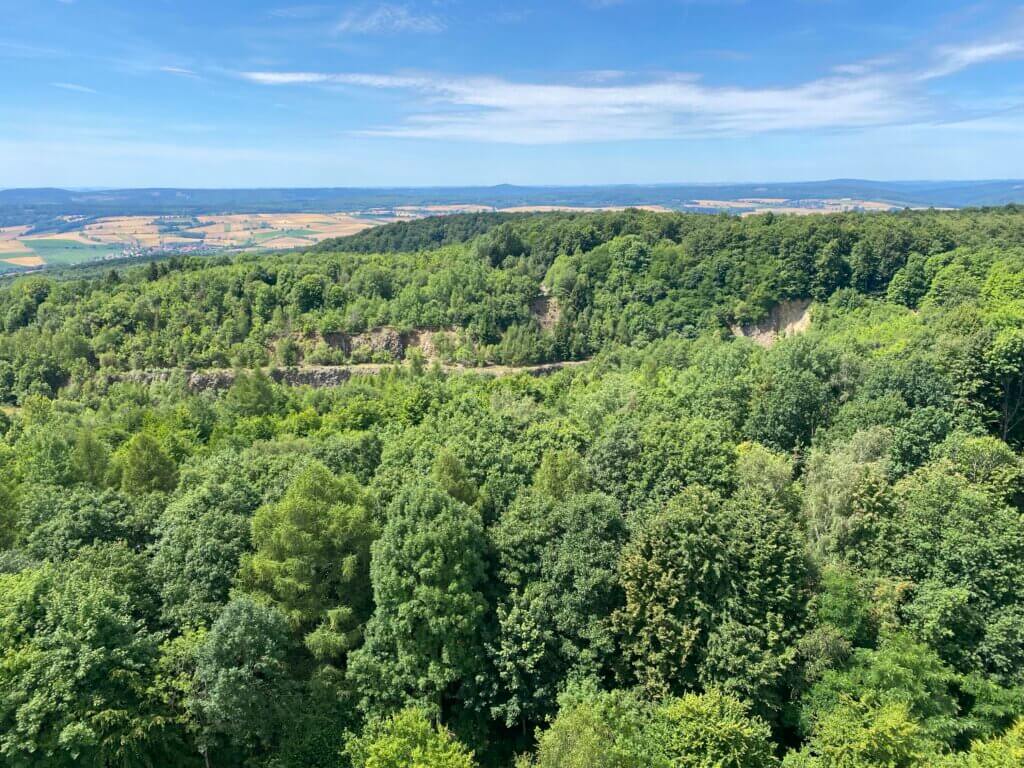
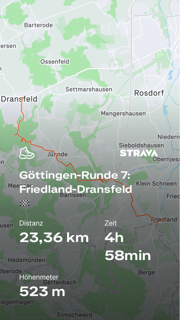
When arriving at the railway station of Friedland you can use the opportunity to visit the Museum Friedland, a great museum about migration after World War II. Afterwards, pass through the village and under the motorway to Elkershausen. From there, walk to the nice Klostergut Mariengarten and traverse the Dramme river. From now on you’ll be guided for some kilometers by the signposts of the pilgrimage route from Loccum (northwest of Hannover) to Volkenroda (Thuringia) – first through a vast forest to the beautiful village of Jühnde and then up to the Hoher Hagen mountain. You’ll have great views on the area and can then descend into the former basalt quarry where you’ll learn about volcanoes and eruptions. Before ending the Göttingen-Runde at Dransfeld, make sure to take the small detour to the Altarsteine in the forest.
- Length: 22,2 km
- Highlights: Museum Friedland, Klostergut Mariengarten, Hoher Hagen, Basalt quarry, Gaußturm, Altarsteine
- Starting point: railway station of Friedland, regional train from Göttingen.
- End point: bus stop Dransfeld–Teichstraße, direct bus 120 to Göttingen.
- Komoot: Göttingen-Runde 7: Friedland-Dransfeld
If you’ve completed this round – why not try the longer Südniedersachsen-Runde?
Track your progress
‘Did you do all the sections yourself?’
Yes, of course. And that was absolutely necessary, as digital maps are not always up-to-date. Already in the first section I was standing in front of a demolished railway bridge; it was gone five months ago and no mapping app had included it in its data. If you find any ‘roadblocks’, please comment below.