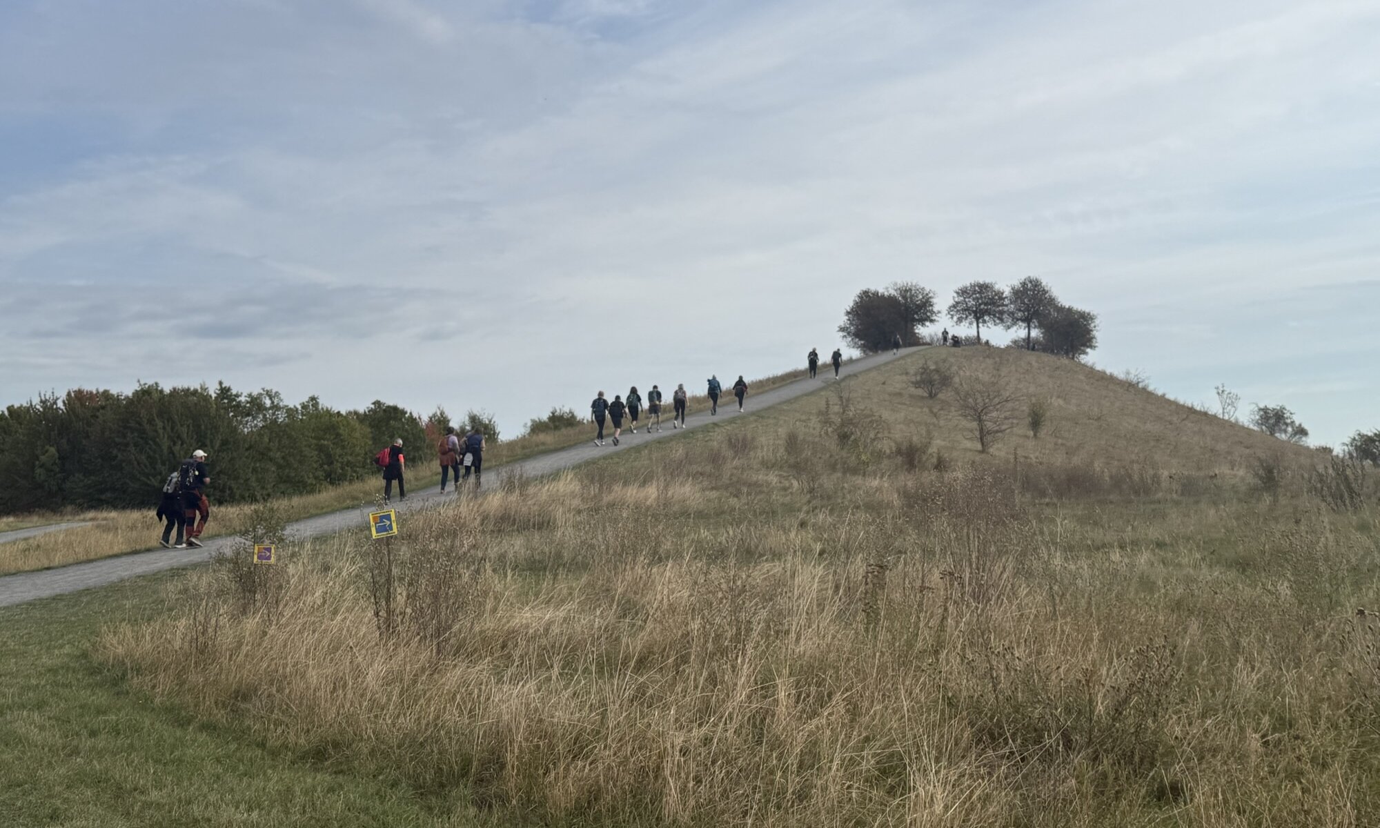
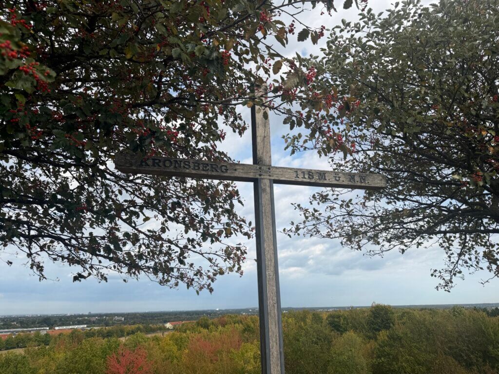
The Kronsberg is Hannover’s highest natural elevation: a long ridge rather than a conventional mountain. It lies on the south-eastern edge of the city, roughly nine kilometres from the centre, between the Hannover exhibition grounds and the Bockmerholz woodland. The ridge is formed mainly of limestone marl and reaches about 106 metres above sea level in its natural state; an artificial summit mound raises the highest viewpoint to roughly 118 metres.
For centuries, the Kronsberg was largely open agricultural land and remained one of the last extensive undeveloped landscapes on Hannover’s outskirts. Its history changed decisively after Hannover was chosen to host EXPO 2000. During the preparations, the ridge and its surrounding landscape were redesigned, while the western slopes became the site of the environmentally planned Kronsberg settlement, with housing, schools, shops and community facilities.
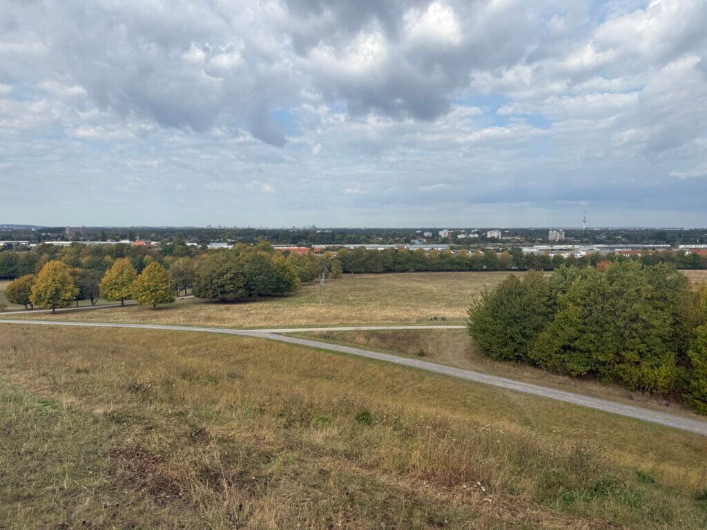
The EXPO also shaped the Kronsberg’s present character. Paths, woodland areas, landscaped gardens and viewing mounds were incorporated into the terrain, creating a recreational area that combines open countryside with views towards Hannover and the former exhibition grounds. The landscape design was intended to demonstrate how urban development, nature conservation and sustainable planning could be brought together.
There are two viewpoints on the Kronsberg: the higher northern viewing mound at the summit, approximately 118 metres above sea level, and a second artificial mound on the southern shoulder, reaching about 107 metres. Both offer broad views across Hannover and the surrounding flat landscape, although the higher mound provides the more impressive panorama.
Kronsberg
Hannover
Germany
Loading map...
