София has about 1.3 million inhabitants and is with 492 sq km the 10th largest city in Europe. That might be a surprise but you can really feel it while travelling through the city. Fortunately there are many different means of public transport available, from the metro to buses, trolleybuses and tramways. But for sure there are also taxis (you can order via app), motorized scooters from different providers and rental bikes.
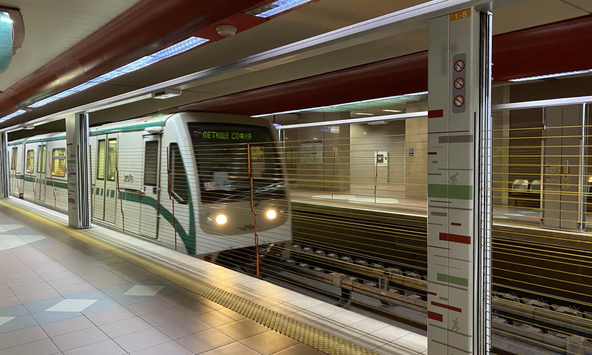
Most comfortable means of transport is for sure the metro. It consists of four lines:
- Red (1): North to south from Slivnitsa to Business Park.
- Blue (2): North to south from Obelya to Vitosha.
- Green (3): West to east from Gorna banya to Hadzhi Dimitar.
- Yellow (4): Northwest to east from Obelya to Sofia airport.
The most important hub is Serdika where the lines 1, 2 and 4 meet close to the city center. Getting from and to the airport is absolutely easy. As a classic metro system you’ll have to validate your ticket at gateways before your ride, you don’t need to revalidate when exiting.
The bus network is dense but a real jungle. Google Maps helps you to find the right bus lines and the bus stops. Most of them are equipped with digital signs telling you when the next bus arrives. With app support it is surprisingly easy to navigate through the city and it is a necessity because of the vast size of the capital city.
When it comes to ticketing you have all options: You can use your credit card as a ticket, you can buy electronic tickets easily via the MPass app and if you want to ride often you can simple buy a SofiaCard (for example at the Serdika station). It is a plastic card costing 12 Leva for three days (12 Leva = 12 Deutsche Mark = less then 6 Euros; let’s say less than 2 Euros per day).
София
Bulgaria
Loading map...
