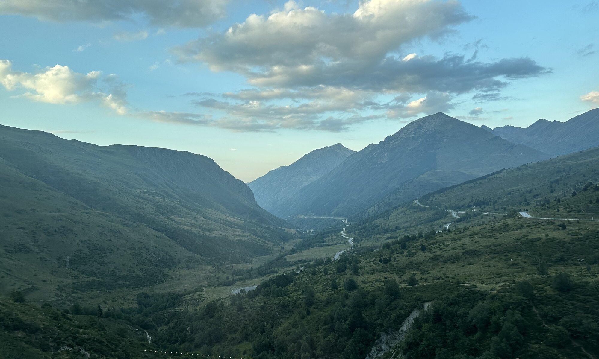
The Pyrenees (or Pyrénées, Pirineus) mountains are more than 430 kilometers long and form the perfect border between central Europe and Iberian peninsula, between France and Spain. They reach nearly from the Mediterranean Sea to the Atlantic Ocean and are much less known, much less discovered and much less populated than the Alps. Concerning its shape the Pyrenees are also very different as in contrast to the Alps as the various valleys are located in parallel to the main mountain range.
That’s because the Pyrenees were created by the continental drift pushing the Iberian micro plate against the Eurasian plate and thereby folding the mountains up. The result is a beautiful mountainous area that is harder to access, harder to use, but also better protected. Back in time there weren’t many settlements, even the Romans and the Germanic tribes had no interest in settling here. It was the Moors conquering parts of the Iberian peninsula that made people move into the mountains.
There are 212 mountains higher than 3,000 meters in the Pyrenees with the Pico de Aneto being the highest one with 3,404 meters. For sure you’ll also find resorts for skiing in the mountains, bet much less than in the Alps. The Pyrenees seem to be an interesting skiing and hiking destination for the people living in southern France and in Catalunya. Within the mountains you can also find the micro state Andorra which attracts visitors these days mostly by tax-free shopping; but that is a pitty, a tour through these mountains is gorgeous and the Pyrenees deserve to be discovered more.
Pyrenees
France / Spain / Andorra
Loading map...


